You move to Littleton to spend more time outside, not more time driving to it. If you love easy riverfront runs, weekend paddle sessions, and quick escapes to foothill views, you’re in the right place. In this guide, you’ll learn how Littleton’s trails, lakes, and nearby canyons shape day-to-day life, plus which neighborhoods put you closest to the experiences you want. Let’s dive in.
Why Littleton is an outdoor hub
Littleton sits along the South Platte River at the edge of the Front Range, surrounded by city parks, regional trails, and state parks that make getting outside part of your weekly routine. The city and its partners manage a deep network of greenways and open spaces that support biking, running, birding, paddling, and family outings. You can live near walkable river access, keep a short drive to big-water recreation, or base yourself close to foothill trailheads. That mix lets you tailor your home search to your lifestyle priorities. For a snapshot of local parks and paths, browse the city’s overview of Littleton parks and trails.
Riverfront trails you can use every day
Mary Carter Greenway and South Platte Park
The South Platte River is Littleton’s outdoor spine. The Mary Carter Greenway runs along the river, linking downtown amenities, Hudson Gardens, and local lake access in South Platte Park. At the Carson Nature Center, South Suburban Parks and Recreation offers interpretive programs, accessible trailheads, and family-friendly ways to explore the river corridor. Learn more about programming and access from South Suburban’s nature page or preview the path on the Mary Carter Greenway overview.
On any given day, you will see cyclists commuting, joggers and stroller walkers on paved segments, and anglers posted up along calmer reaches. If you are new to the area, it is a perfect first ride or run to get your bearings and settle into a Littleton rhythm.
High Line Canal and Lee Gulch links
The High Line Canal Trail is a regional classic that passes through the south metro area and connects into Littleton’s network. Parts are paved and others are natural surface, so it helps to plan your route with surface type in mind. For a big-picture map and segment notes, see the High Line Canal Trail overview. Expect easy cruising in many sections, with links that lead west toward Chatfield and Waterton.
Cherry Creek Regional Trail connections
Looking for longer training rides or a cross-town commute? The Cherry Creek Regional Trail ties the south metro area to Cherry Creek State Park and connects into the broader Denver trail grid. It is a go-to for distance riders and weekend explorers who want consistent mileage on multi-use paths. For regional context, refer to the Cherry Creek Regional Trail details.
Lakes, beaches and boat days
Chatfield State Park
Chatfield State Park is Littleton’s closest big-water playground. The reservoir spans roughly 1,500 surface acres, supported by a marina, seasonal swim beach, camping, and about 26 miles of park trails. It is also home to one of the region’s largest dog amenities, a fenced 69-acre off-leash area with both paved and unpaved paths. Get a feel for the offerings on the Chatfield State Park highlights page.
Practical tips help you love Chatfield even more:
- Peak weekends can reach capacity for parking and boating. Go early or pick off-peak times.
- The off-leash dog area requires a separate pass in addition to park entry. Review current rules and fees on Chatfield activities and trails.
- If you care about slips or storage, contact the marina early in the season and confirm inspection requirements for watercraft.
Cherry Creek State Park
Cherry Creek State Park is another nearby reservoir with an 880-acre lake, multi-use trails, a large off-leash dog area, and a swim beach. It is an easy alternative when you want a change of scenery or a different set of amenities. Vehicle passes apply, so check current details on the Cherry Creek State Park page.
Why mention both? For Littleton residents who plan regular on-water recreation, Chatfield is the closest large-lake scene, while Cherry Creek expands your weekend options without a long drive.
Foothills and big-view escapes
Waterton Canyon gateway
If a wide, gently graded canyon road with river views sounds like your pace, Waterton Canyon delivers. Managed by Denver Water, this popular corridor draws hikers and cyclists and often features wildlife sightings, including bighorn sheep. Dogs are restricted in some areas to protect wildlife, and periodic maintenance closures occur. Before you go, review guidelines and any alerts on Denver Water’s recreation guidance.
South Valley, Deer Creek, and Ken Caryl
West of Littleton, you will find a cluster of foothills trail systems known for red rock formations, rolling singletrack, and panoramic views. South Valley Park and nearby Deer Creek Canyon cater to hikers and mountain bikers who want classic Front Range terrain without a long haul to the high country. The Ken Caryl area also includes private community trails that connect to public open space, so always confirm access rules and maps if you are visiting from outside the neighborhood.
As with any foothills destination, trail conditions can change after storms or wildfire repairs. Plan ahead, respect closures, and check the managing agency’s updates before your weekend plans firm up.
Where to live for the access you want
Littleton’s neighborhoods offer different outdoor lifestyles within a compact area. Here is how to think about the trade-offs as you shop.
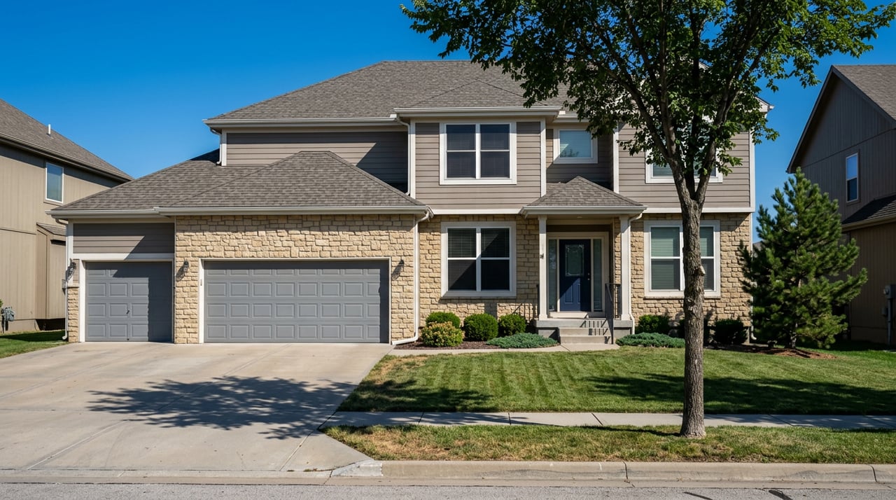
Downtown and Old Town Littleton
If you want to step out your door and be on a riverside path in minutes, focus near Main Street and the riverfront. You will be close to the Mary Carter Greenway, South Platte Park, and local spots where you can roll straight from a ride to a patio. One example of a riverside patio that is reachable from the greenway is the Platte River Bar & Grill. Expect a small-town street feel with quick bike access to green spaces.
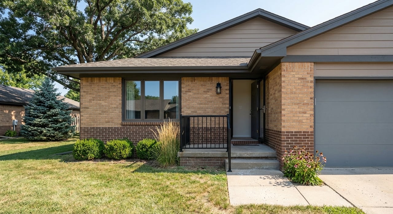
South-central Littleton near Mineral
Homes and newer infill pockets along Mineral often back to or sit a short walk from the South Platte Park trail system and local ponds. You get front-door greenway access plus quick routes to Aspen Grove and the Mineral RTD corridor. If you plan to bike-commute or stage regular family rides, this zone makes daily use easy.
Foothills-edge Ken Caryl and west Littleton
If mountain-view sunsets and direct trail access top your list, look to the foothills fringe. You will find a blend of public open space and private community paths, plus equestrian amenities and long sightlines. You may trade a few extra minutes of commute time for bigger open-space buffers and immediate trailheads.
South and west Littleton, Highlands Ranch edge
For frequent lake days, these areas put you closer to Chatfield State Park and extended suburban trails, including links to the High Line Canal. If you want paddling in the morning and a jog on a paved path in the evening, this side of town keeps logistics simple.
Here are a few trade-offs to keep in mind as you compare listings:
- Riverside access vs. foothills edge. Daily greenway use is easiest near the river. Bigger views and singletrack are closer to the foothills.
- Shoreline fun vs. summer crowds. Chatfield brings big benefits and big demand in peak season. Early starts help.
- Time-to-trailhead. Estimate your favorite trailheads in minutes, not miles. Traffic patterns and parking matter more than raw distance.
- Public vs. private paths. In master-planned areas, confirm trail easements, guest passes, and HOA rules before you bank on a route.
Dog owners: what to know
If your outdoor plans include a four-legged friend, Littleton makes it easy to get outside with some simple planning.
- Chatfield State Park runs a major fenced 69-acre off-leash area with two ponds and a mix of paved and natural paths. It requires an off-leash pass in addition to vehicle entry. Check current details on Chatfield activities and trails.
- Cherry Creek State Park also offers a large off-leash area with its own rules and fees. See the Cherry Creek State Park page.
- Hudson Gardens is a public garden along the river corridor where pets are generally not permitted, except service animals. Plan accordingly for garden outings.
Always verify current rules before you go. Agencies update seasons, fees, and hours periodically to protect wildlife and manage demand.
Smart planning tips for every season
A little prep goes a long way in metro Denver’s four-season climate. Use this quick checklist to make the most of your weekends.
- Know the surface. Paved greenways are ideal for road bikes and strollers, while canal and foothill segments can be natural surface. Check the managing agency’s page, such as South Suburban’s nature hub, before you roll.
- Watch for closures. Maintenance, dust mitigation, or wildfire repairs can cause temporary closures, especially in canyons and foothills. Review agency updates, including Denver Water’s recreation guidance, before you head out.
- Bring the right pass. State parks require vehicle entry, and off-leash areas require a separate pass. Confirm fees and rules on Chatfield activities and trails and the Cherry Creek State Park page.
- Beat capacity. Popular swim beaches and marinas can fill on peak weekends. Aim for early mornings or weekdays.
Your Littleton lifestyle, dialed in
From riverside rides to quick foothills escapes and laid-back lake days, Littleton gives you a rare range of outdoor choices in one place. As you explore neighborhoods, focus on the access that fits your routine, then weigh the trade-offs in commute time, parking, and passes. If you want a local guide to help you zero in on the right pocket, we are here to help. Reach out to the DeLUX Team to compare neighborhoods, map your time-to-trailhead, and line up a plan that fits your lifestyle.
FAQs
What are the best everyday trails near downtown Littleton?
- The Mary Carter Greenway along the South Platte River offers paved, bike-friendly paths that connect to South Platte Park, Hudson Gardens, and downtown amenities; start with the Mary Carter Greenway overview.
Where can I boat or paddle near Littleton without a long drive?
- Chatfield State Park is the closest large reservoir with a marina, seasonal swim beach, and miles of paths; see Chatfield highlights. Cherry Creek State Park is a nearby alternative with an 880-acre lake.
Is Waterton Canyon open to dogs, and what should I know before visiting?
- Dogs are restricted in parts of Waterton Canyon to protect wildlife. Check rules and any maintenance closures before your visit on Denver Water’s recreation guidance.
Which Littleton neighborhoods are closest to foothill views and singletrack?
- West Littleton and the Ken Caryl edge place you near South Valley and Deer Creek Canyon trail systems. Always confirm public vs. private trail access and HOA rules in master-planned areas.
What passes do I need for Chatfield or Cherry Creek State Park?
- Both parks require vehicle entry, and the Chatfield off-leash dog area requires its own pass. Review current details on Chatfield activities and trails and the Cherry Creek State Park page.
Are the High Line Canal and Cherry Creek trails paved end to end?
- No. The High Line Canal includes both paved and natural-surface segments, while the Cherry Creek Regional Trail is largely paved. Check segment-specific notes on the High Line Canal Trail overview and regional info for Cherry Creek Regional Trail.